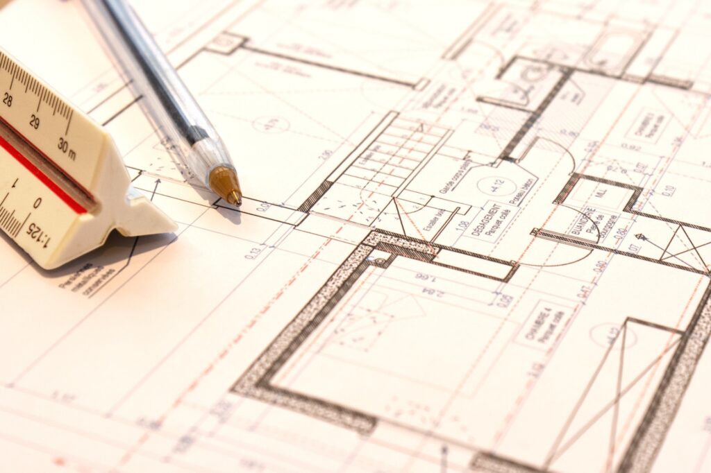
At Pika 3D, setting out is where vision meets execution. Using advanced 3D tools and precise measurements, we lay the groundwork for projects that are accurate, efficient, and built to last. From initial planning to final layout, our expertise ensures every detail aligns perfectly with your goals.
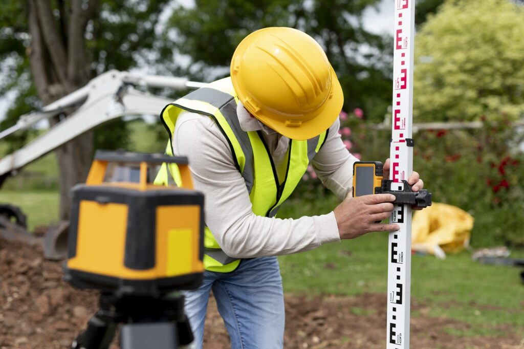
Topographical Survey
Our topographical surveys combine advanced 3D technology with meticulous accuracy to map every detail of your project site. From terrain features to elevation data, we deliver precise insights that form the foundation for successful planning and design. Trust Pika 3D for a clearer perspective.
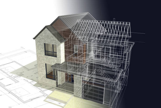
3D Scanning
Our cutting-edge 3D scanning technology captures every detail with unmatched accuracy. From complex structures to intricate designs, we provide precise digital models that streamline planning, design, and execution. Experience the future of measurement and modeling with Pika 3D.
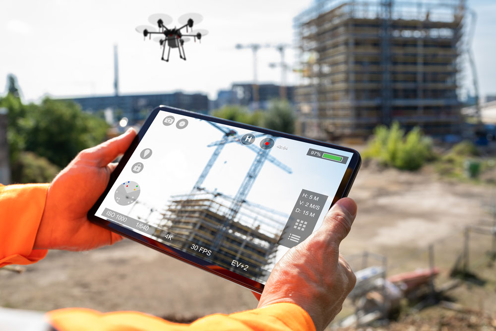
Drone Survey
Our drone surveys deliver high-resolution data with speed and accuracy. Using advanced aerial technology, we capture detailed site information, providing precise insights for planning and design. Efficient, reliable, and innovative—drone surveys reimagined by Pika 3D.
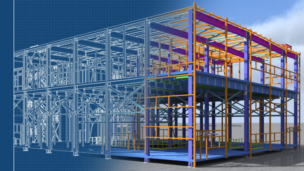
BIM
At Pika 3D, we leverage Building Information Modeling (BIM) to bring clarity and efficiency to every project. By creating intelligent 3D models, we streamline collaboration, enhance accuracy, and optimize the design and construction process. Experience smarter building solutions with Pika 3D.